
Official Sources for Leesburg Neighbors
The most dependable block study begins with land records because they have stable parcel identifiers and mapped shapes. The tax roll adds named owners and mailing destinations. Plats explain lot and block relationships. Florida voter information can add registered-residence evidence through the proper request channel, while directories and community pages provide historical or voluntary context. None is a master roll of every person in a home.
| Block source | What it can show | Access route |
|---|---|---|
| Lake County GIS | Parcel shapes, identifiers, nearby selections and links | Free map with click, rectangle, add, and buffer tools |
| Property Appraiser | Owner, situs, tax-mail line, parcel key, legal description | Free parcel record or published roll |
| Recorded plats | Lot, block, subdivision and common land context | Clerk Official Records and counter access |
| Public voter file | Lawfully released registered-residence fields | Supervisor of Elections records request; protected data removed |
| Historic reverse directory | Named occupant at a street number in a publication year | Library volume where a reverse section exists |
| Community groups | Voluntary public leadership and contact details | Organization or city page, when intentionally published |
Use the source closest to the claim. GIS proves geometry, a deed proves a recorded transfer, and a public roster proves only what its publisher chose to list.
Select Parcels Around a Leesburg Address
The Lake County Interactive Map is the local tool for turning one address into a block study. Search the address, confirm the highlighted parcel, and inspect the parcel result before expanding outward. County GIS supports clicking a parcel or drawing a rectangle to select several at once.
- Search the exact house number and street, then confirm the parcel against situs and alternate key.
- Click adjoining shapes or draw a rectangle over the immediate block.
- Keep the selection tool active and use Add to selection when a parcel was missed.
- Apply Buffer Selection only when a larger radius has a clear purpose.
- Open each linked Property Appraiser record and record owner, mailing line, and situs separately.
The process creates a defined set of nearby parcels. It does not identify relationships between their residents, and map lines are not a survey.
Expand Leesburg Neighbor Research With a Buffer
Rectangle selection is best for a visual block. Add to selection lets the researcher correct its edges without starting over. Buffer Selection expands around a chosen set and is helpful when canals, curved roads, cul-de-sacs, or irregular parcels make a simple rectangle misleading. These exact controls are a useful local insider feature.
Choose the smallest radius that answers the question. A large buffer produces noise and can cross postal, municipal, subdivision, or service boundaries. The county map also warns that boundaries are for visualization, easements are not shown, and the Property Appraiser does not maintain surveys. When exact land rights matter, inspect the recorded plat or a proper survey rather than measuring screen geometry.
Practical tip. Save the selected alternate keys before leaving the map so the same Leesburg parcels can be reopened in other county systems.
Compare Mailing and Situs Across a Leesburg Block
A parcel detail includes owner name, alternate key, mailing address, parcel number, property location, condensed legal description, values, improvements, sales, and exemptions. The owner’s mailing address may match the situs, differ from it, or use a post-office box. Record the two fields separately for each selected parcel.
A matching mailing and situs line can support an owner-occupancy hypothesis, but it is not a complete household statement. A difference can indicate an absent owner, yet it can also reflect a preferred mailing destination. Renters, relatives, and other household members are not systematically listed on the parcel roll. That limit should remain visible in any table of Leesburg neighbors.
Leesburg Plats Explain Lot-and-Block Neighbors
Adjacent map shapes are easier to understand when tied to the recorded plat. A plat can identify the subdivision, lot and block, streets, common areas, and other recorded geometry. Search the Lake County Clerk’s official records with the subdivision or a citation from the parcel card, then compare the plat to the current GIS view.
Plats have coverage from October 1884 forward in the clerk’s published book-type ranges. Ordinary users can inspect records through the portal or counter; the clerk also has an annual plat-library subscription for systematic work. A plat is not a resident directory. Its role is to explain why parcels are grouped and which legal land units truly touch.
What Florida Voter Data Adds to a Leesburg Block
The personalized Lake County voter lookup is designed for a voter to confirm status, precinct, sample ballot, and vote-by-mail information. It is not the same as a public block download. For a lawful public file, use the Supervisor of Elections request channel at Lake County SOE NextRequest.
Florida registration data is broadly public, but protected fields include Social Security numbers, driver or Florida identification numbers, registration-location information, preregistrants, and copied signatures. Protected voters receive greater safeguards. A released residence field can show a registration address at the file’s date; it does not prove current presence, everyone in a home, citizenship status of nonlisted people, or a social tie between nearby registrants.
Leesburg Neighborhood Overlays Are Not Rosters
City planning services identify the Sunnyside Community, community redevelopment areas, historic-preservation areas, planned developments, annexations, and zoning or future-land-use history. These layers are valuable geographic context. They can explain why two nearby parcels fall under different plans or why an older source called a location county territory.
No authoritative, comprehensive public Leesburg neighborhood-association or HOA member-directory inventory was found. That gap must not be filled with guesses. HOA membership, congregation lists, and block-watch rosters should be treated as private unless the organization itself intentionally publishes a public contact or leadership page. A geographic overlay names an area, not the people who belong to a group.
| Community route | Publicly useful detail | Boundary |
|---|---|---|
| City planning layers | Named areas and regulatory geography | Not membership |
| Chamber member directory | Voluntary business affiliations | Not a household roll |
| Civic, veterans, fraternal or congregation page | Deliberately published leaders or contacts | Private rosters stay private |
| Leesburg Public Library and Kinseekers | Historical FAN research help | Historical evidence, not current block membership |
Historic Leesburg Neighbors in Directories and Census
A reverse or criss-cross directory, when a specific Leesburg volume contains one, can reorder entries by street and house number. That makes it possible to reconstruct the nearby households for one publication year. Do not claim that every locally held volume is reverse-searchable; check its contents and abbreviation pages first.
Federal census schedules through 1950 can add household composition, ages, birthplaces, occupations, and nearby enumerated families. Pair the census with the nearest directory and a Sanborn map. A directory omission can reflect coverage, enumeration failure, filing under a spouse or business, or a move. Historical neighbors should be described as a dated snapshot, not a permanent relationship.
Official Rolls Versus Commercial Neighbor Tools
Official records are separated by purpose. The Property Appraiser is authoritative for its current parcel fields; the clerk indexes recorded instruments and plats; elections staff control voter-file access; the city maintains addressing and planning layers. Each source also states its own date, field limits, and correction route.
Official Leesburg and Lake County sources
Best for a specific land, filing, registration, or geographic fact. They require the reader to connect roles carefully and return corrections to the custodian.
Commercial neighbor-search category
May merge records from different dates without showing the source. Results can be stale, incomplete, or attached to the wrong person, so they should not replace official verification.
For a whole named road rather than the immediate radius, the Leesburg street directory explains the broader address chain. Keeping that task separate prevents one block study from expanding without purpose.
Privacy Limits for Leesburg Neighbors
Parcel maps do not identify renters or all household members. Utility customer information and DMV personal addresses are not public directories. Safe at Home provides a substitute mailing address and confidentiality safeguards to qualifying victims, and Florida law supplies additional exemptions for protected people and fields.
Public availability never gives permission to threaten, harass, impersonate, trespass, or defeat a confidentiality program. Florida’s stalking law addresses repeated malicious following, harassment, and cyberstalking. Use a neighbor lookup for civic curiosity, historical study, reconnecting, or personal safety awareness, and stop when a source lawfully withholds a detail.
Lawful use. Keep the search tied to a legitimate personal purpose and never use a Leesburg address record to watch, intimidate, or harm someone.
Recent Leesburg Data Still Needs a Date
County parcel data is updated nightly, while sale-map data can lag a sale by about one month. Municipal boundaries also change with annexations. Current Property Appraiser guidance directs broad data work to published tax-roll and GIS downloads instead of custom staff extraction. Record the date and layer name for every block study.
The captured Supervisor of Elections request source shows the proper channel for asking about a lawful public voter file.
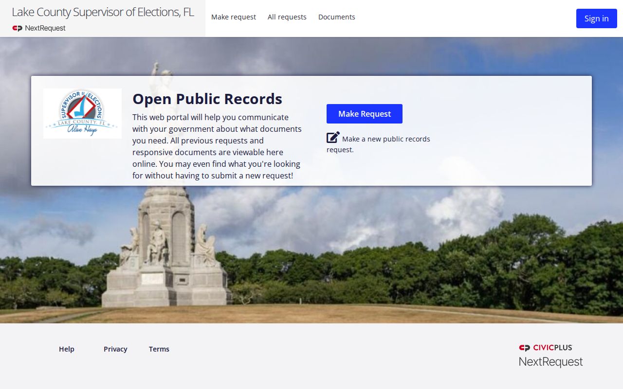
That request route is distinct from a voter’s self-service lookup and allows the custodian to remove protected fields before release.